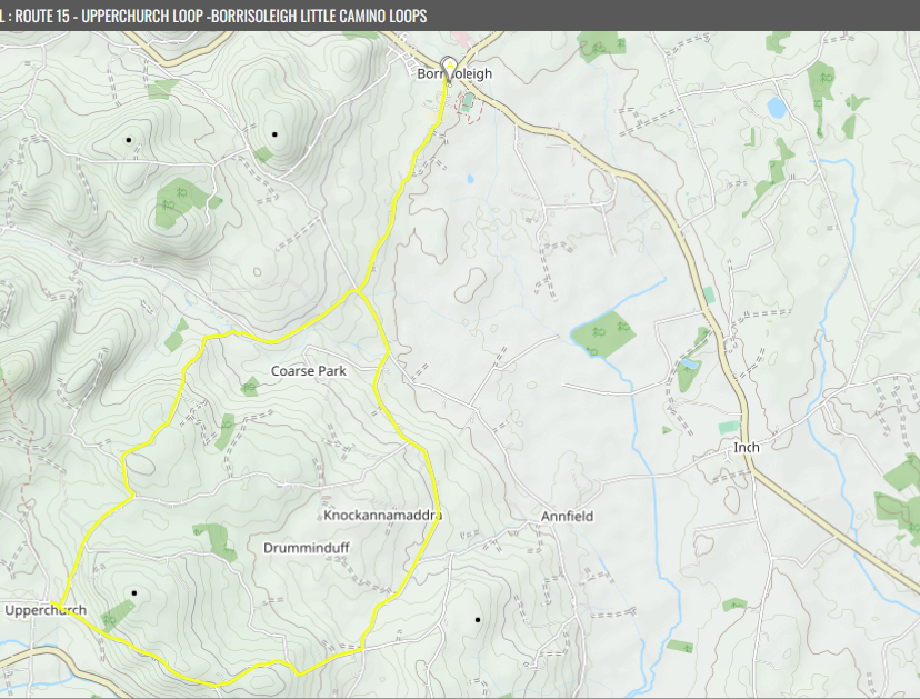
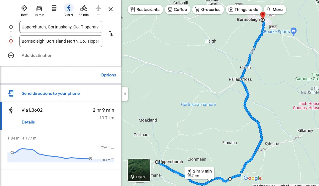
Upperchurch Loop
Moderate Effort (5/5 Difficult level)
Fairly uphill walk once you pass first 3km
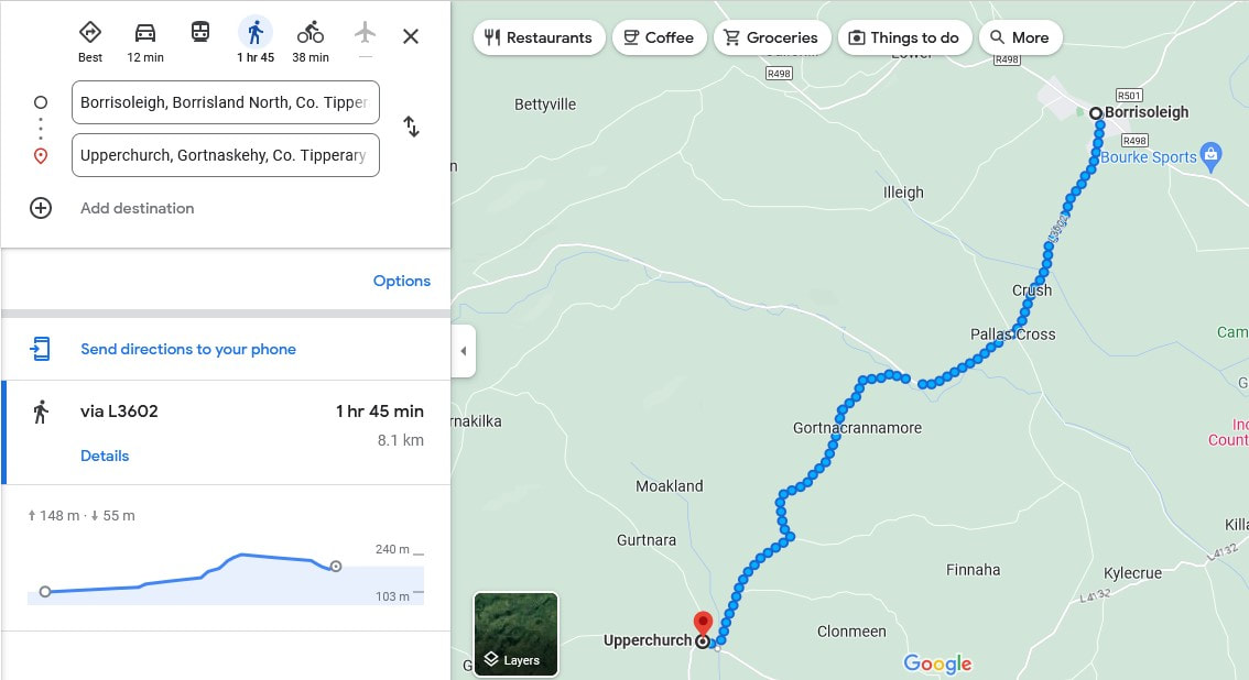
~25000 steps ~19km (8km out 11.5km back)
~ 4hr
Dog Friendly
Traffic volume – Low to Medium
(Road between Borrisoleigh and Pallas Cross tends to be busier than most L roads )Some superb views surrounding countryside
Moderate Effort (5/5 Difficult level)
Fairly uphill walk once you pass first 3km
~25000 steps ~19km (8km out 11.5km back)
~ 4hr
Dog Friendly
Traffic volume – Low to Medium
(Road between Borrisoleigh and Pallas Cross tends to be busier than most L roads )Some superb views surrounding countryside
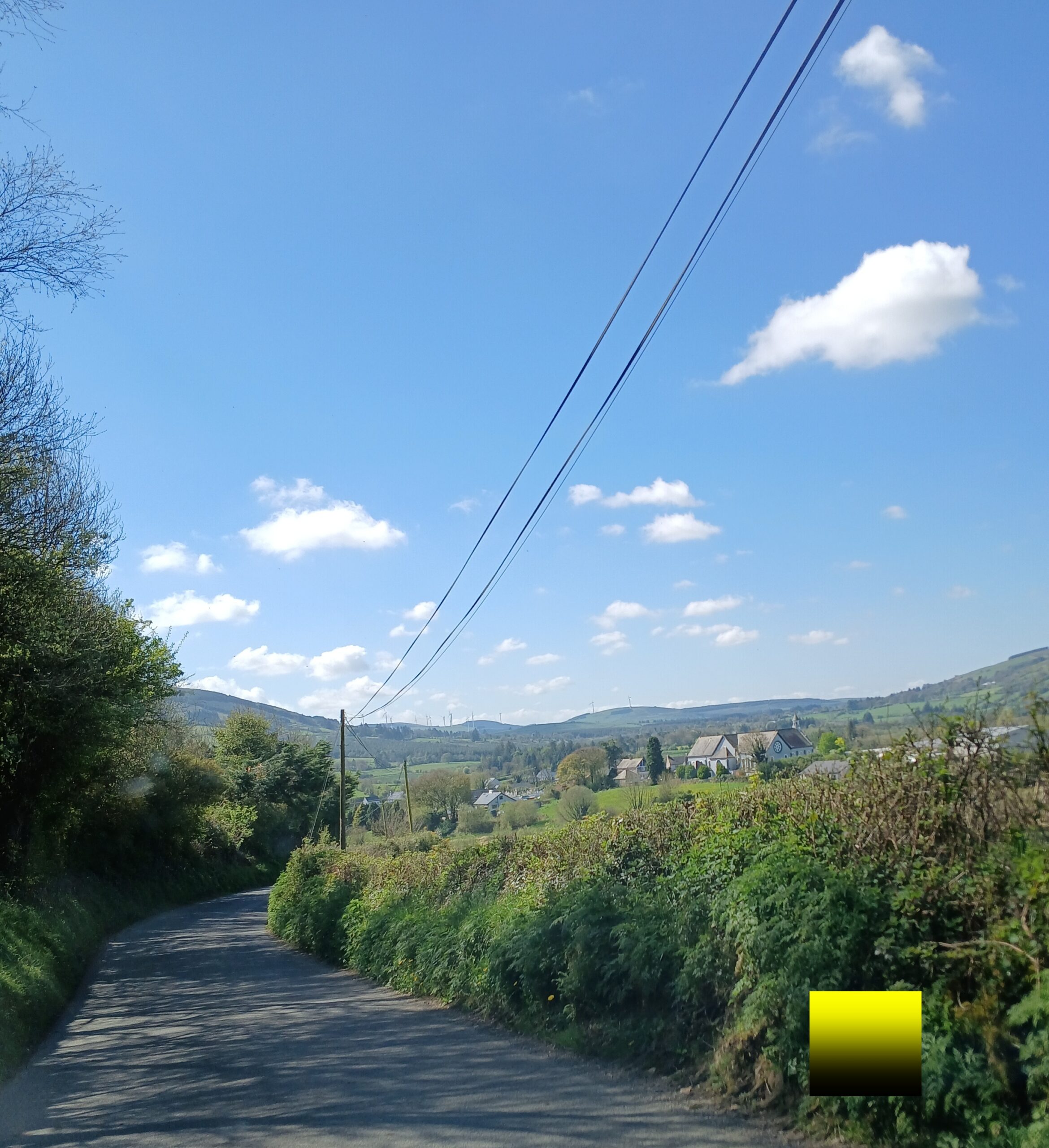
Outbound walk is ~8km long but mostly uphill after 3km
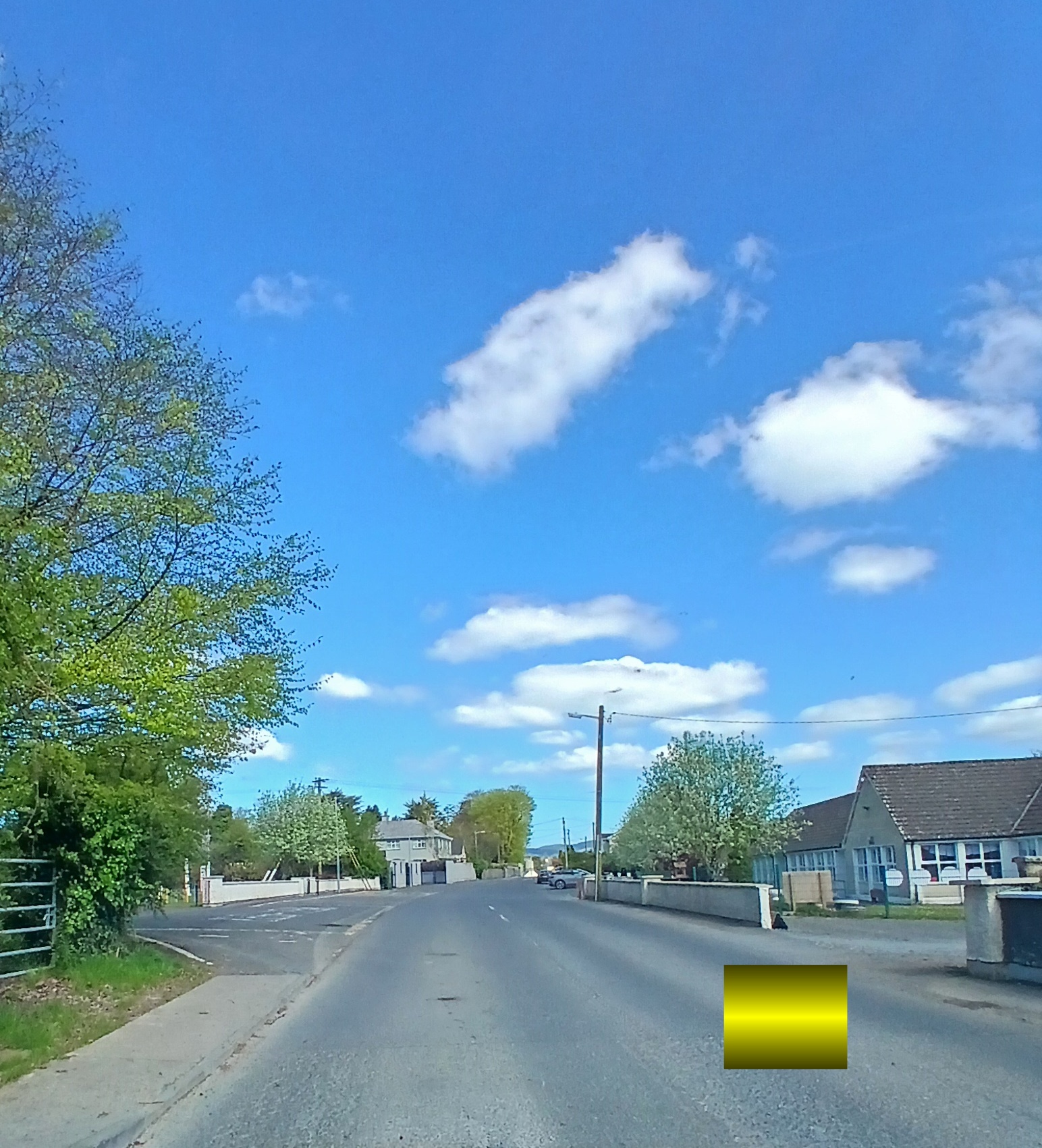
Head out Pallas Road from Borrisoleigh
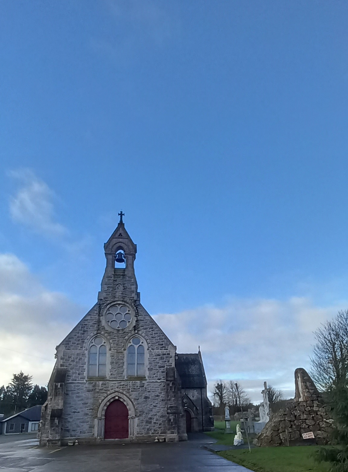
Pass Church of the Sacred Heart visible on right hand side
Pass Church of the Sacred Heart visible on right hand side
Head out Pallas road , up past local schools
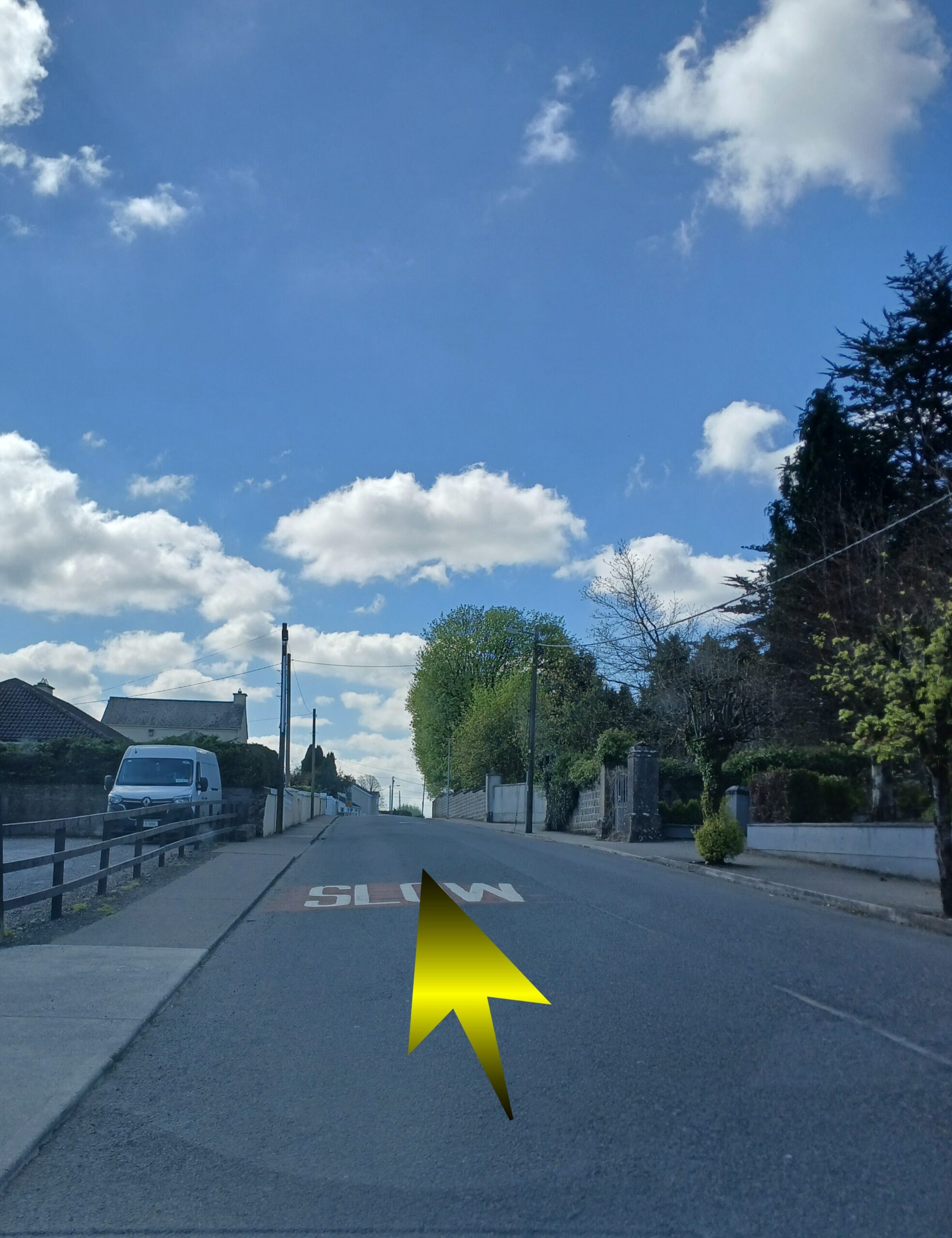
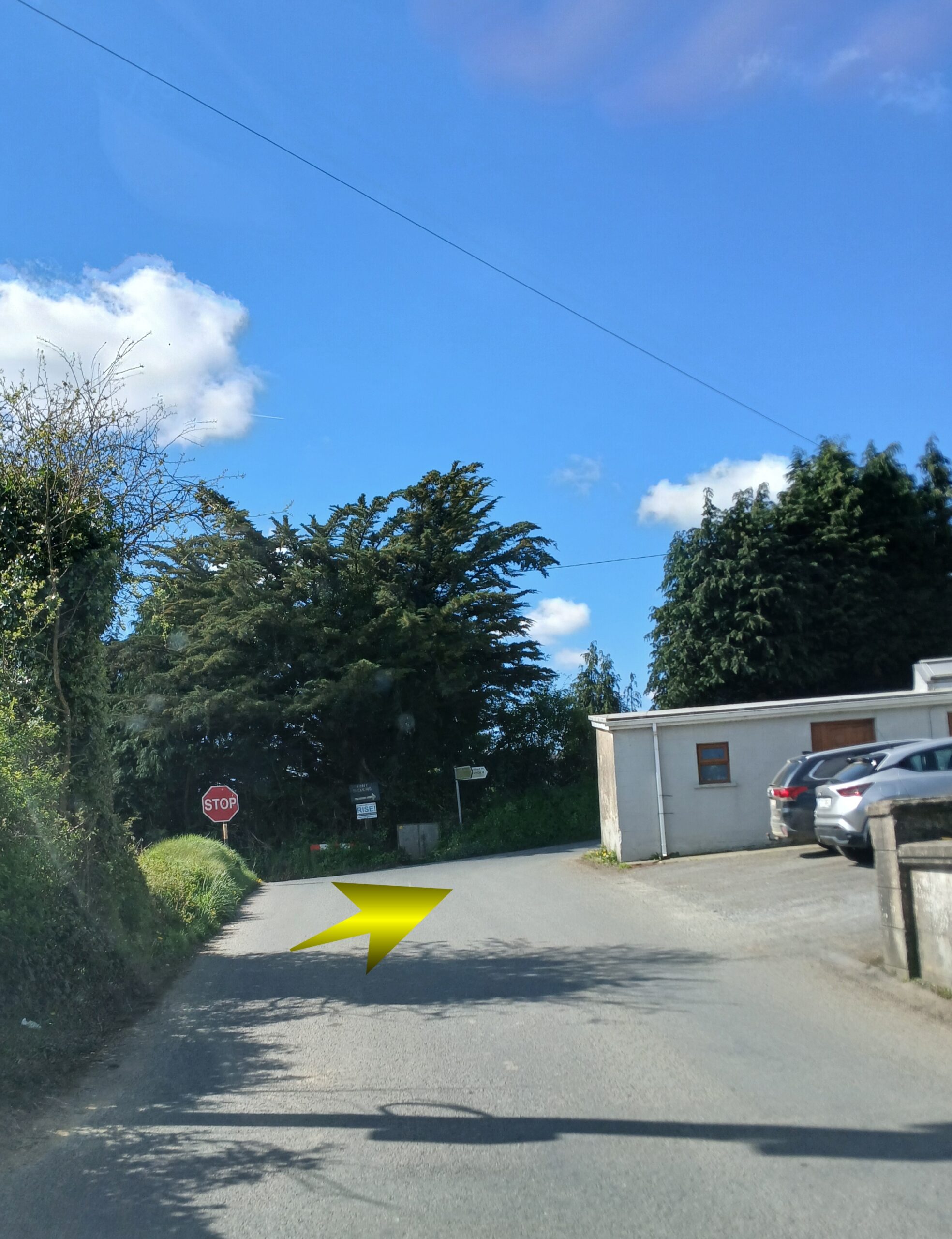
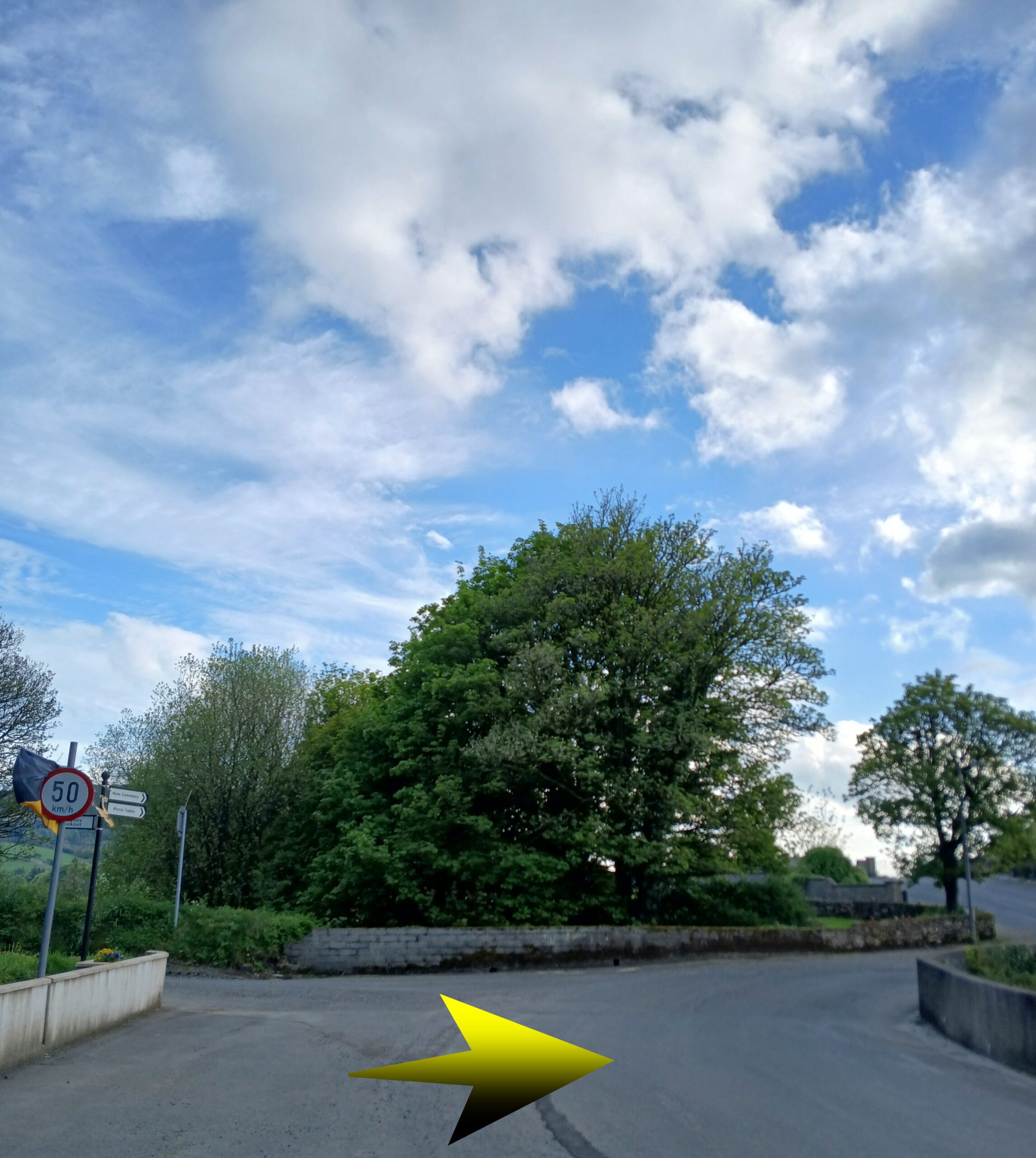
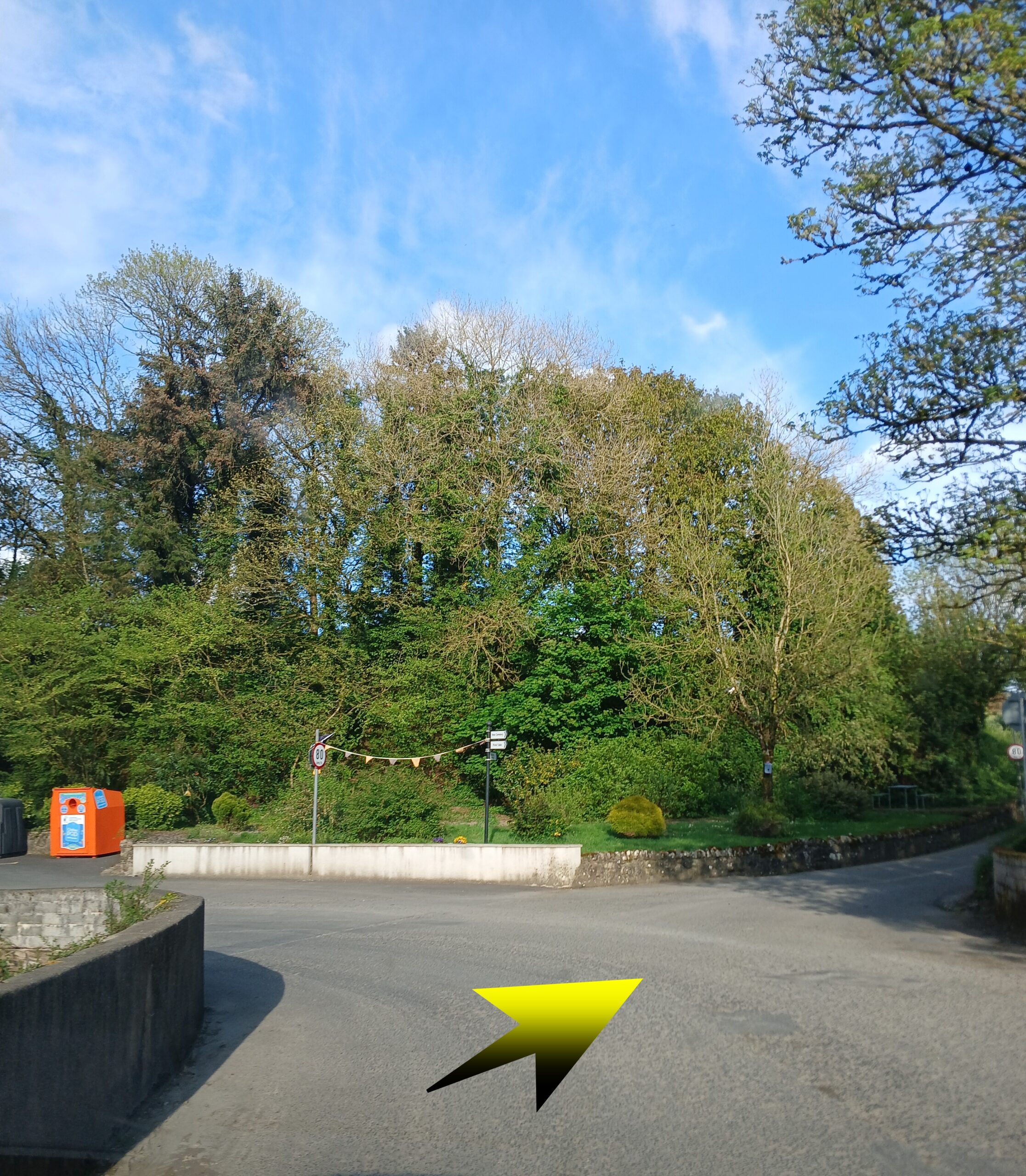
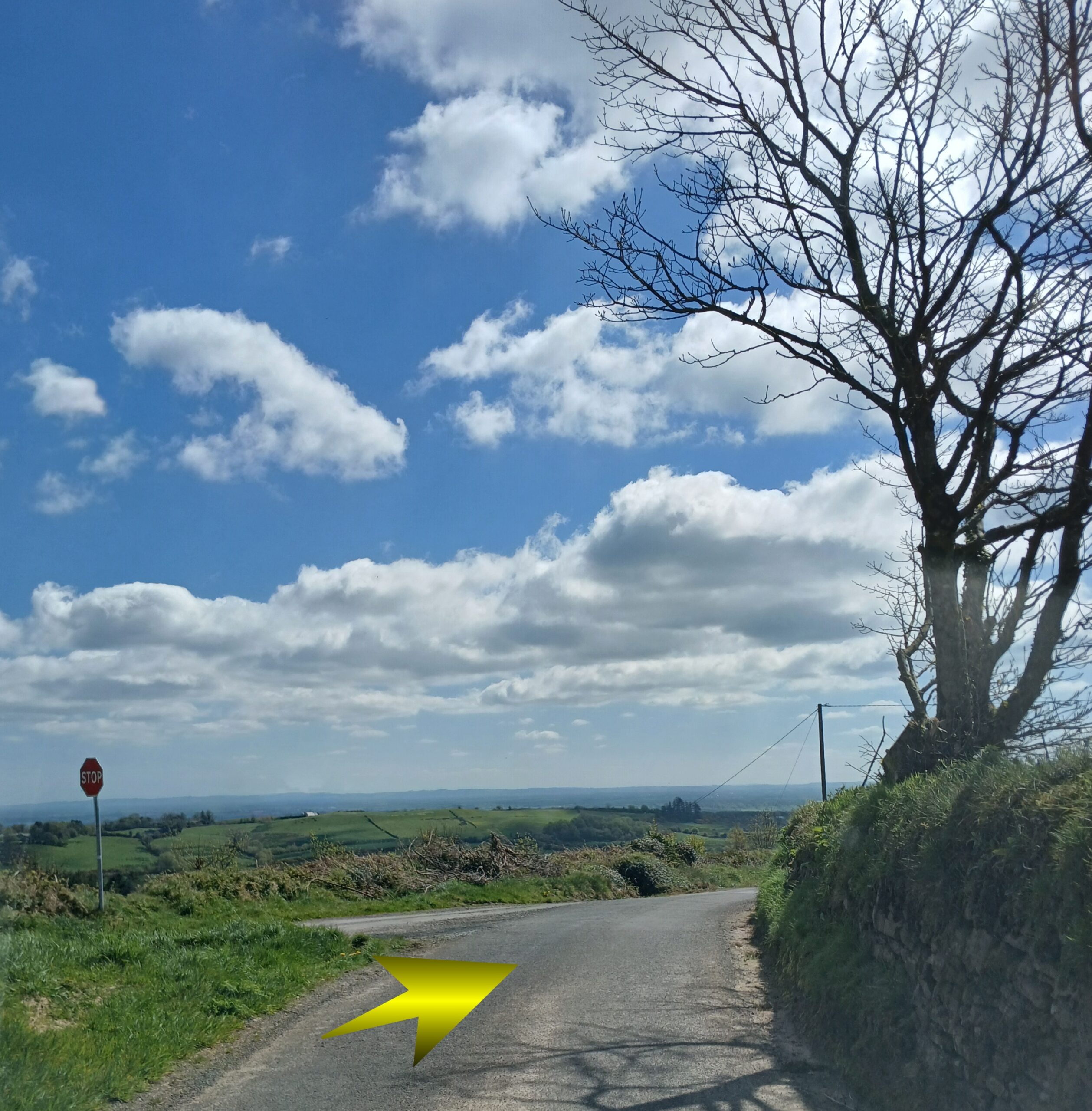
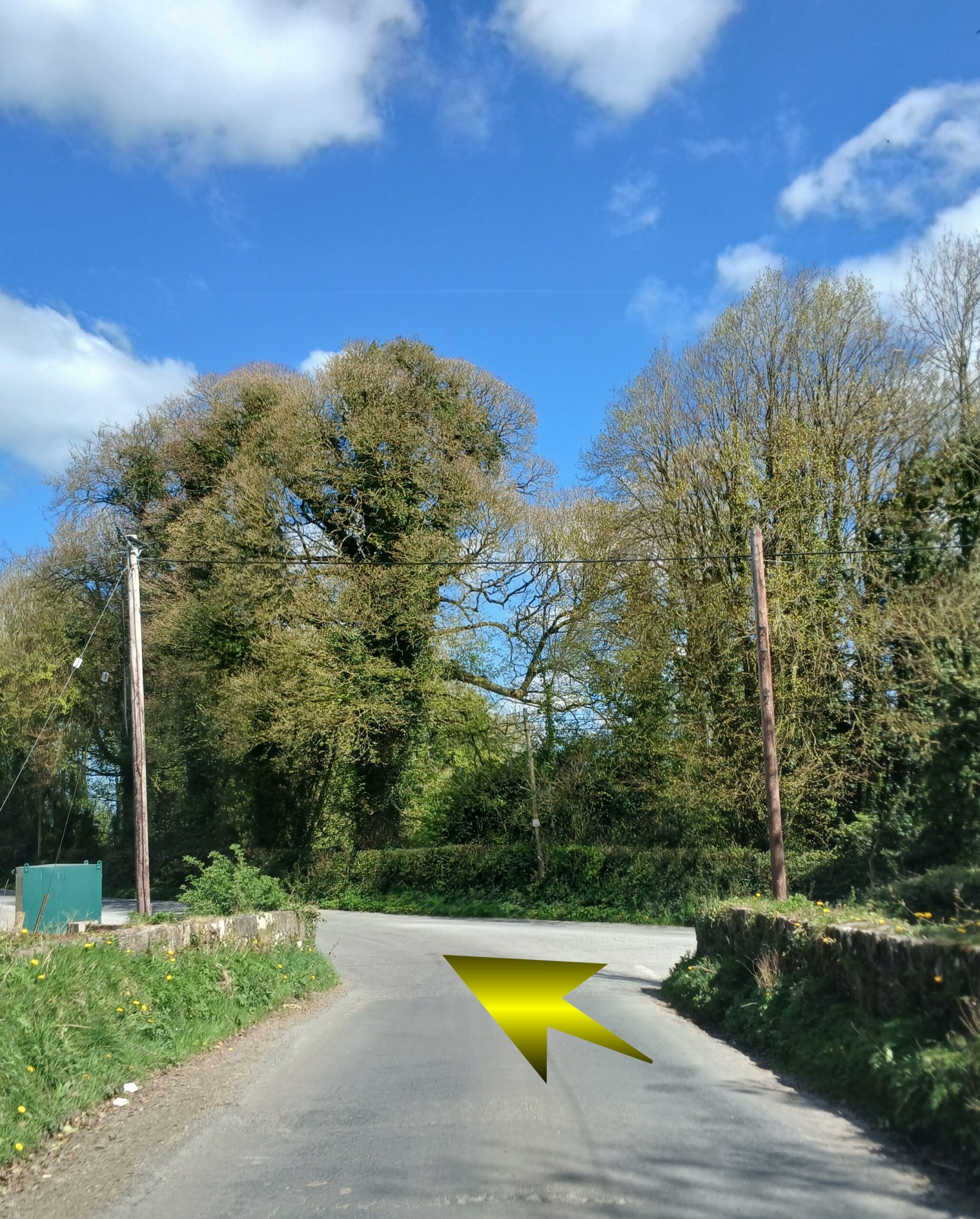
Head strraight thru this junction ( veer a little right ) but head straight.
At the next junction , take the LEFT at the fork in the road.
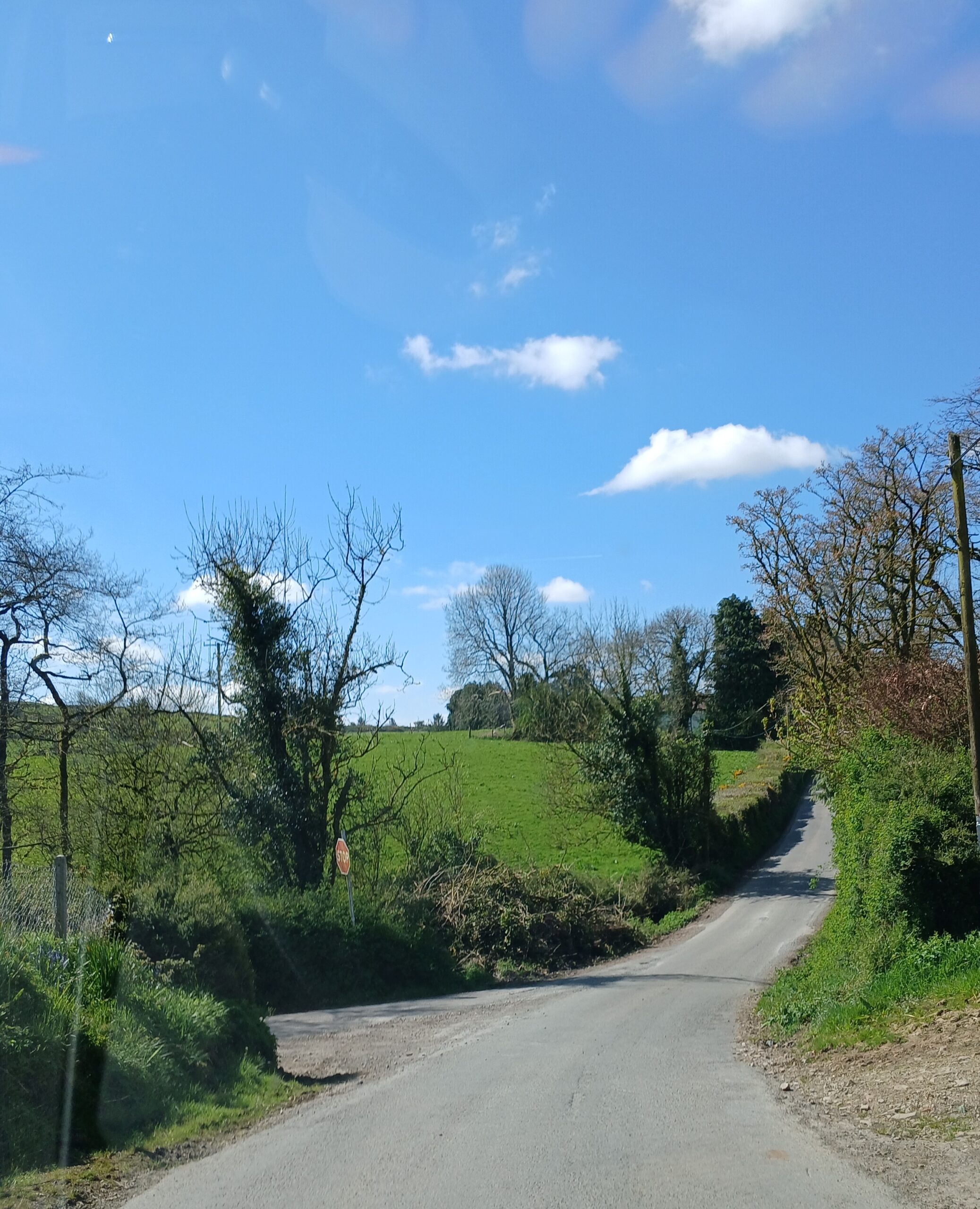
Follow this road all the way to Upperchurch
Follow this road all the way to Upperchurch
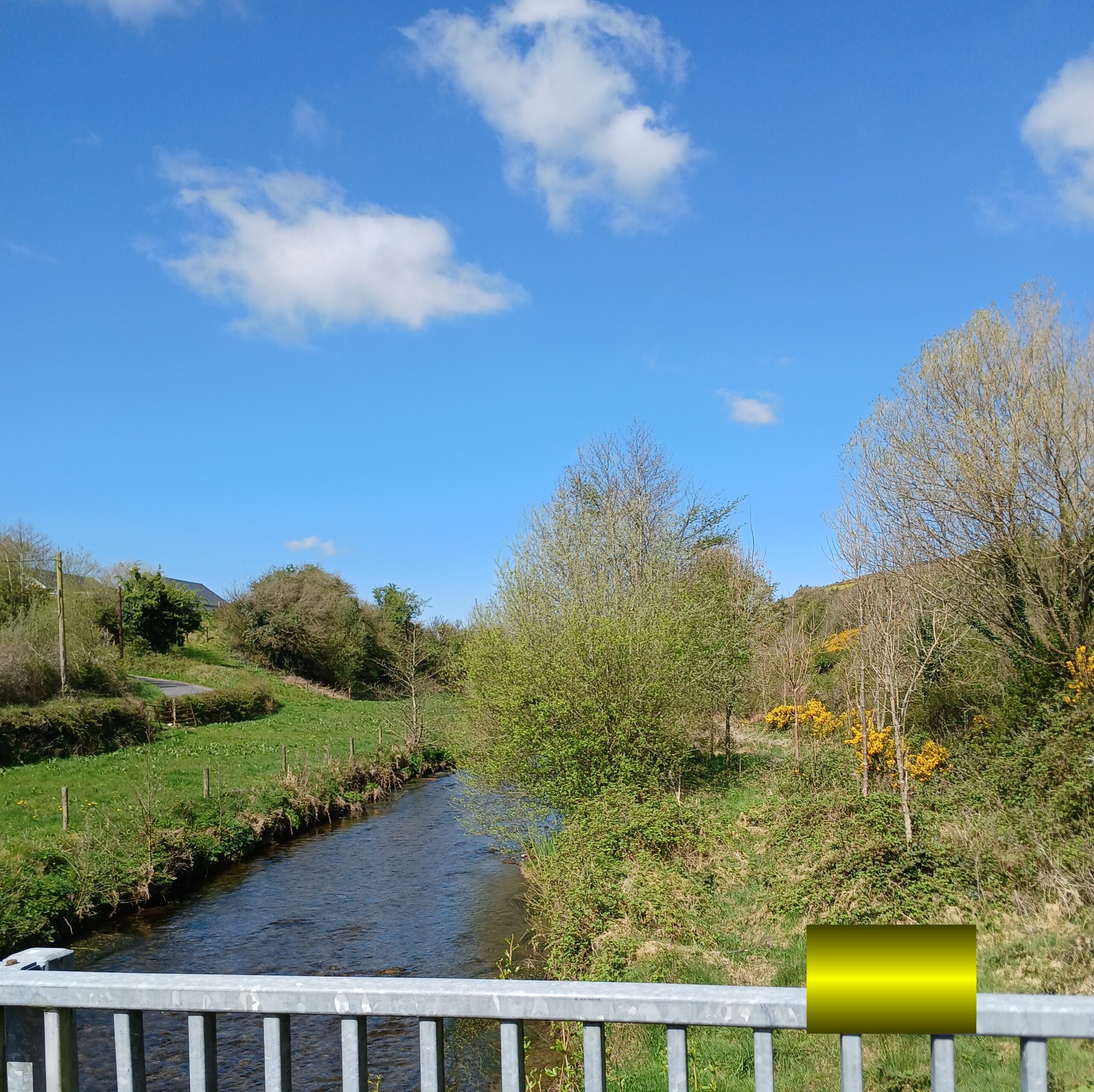
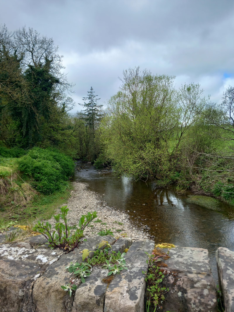
Soon afterwards you will pass over the River Clodagh
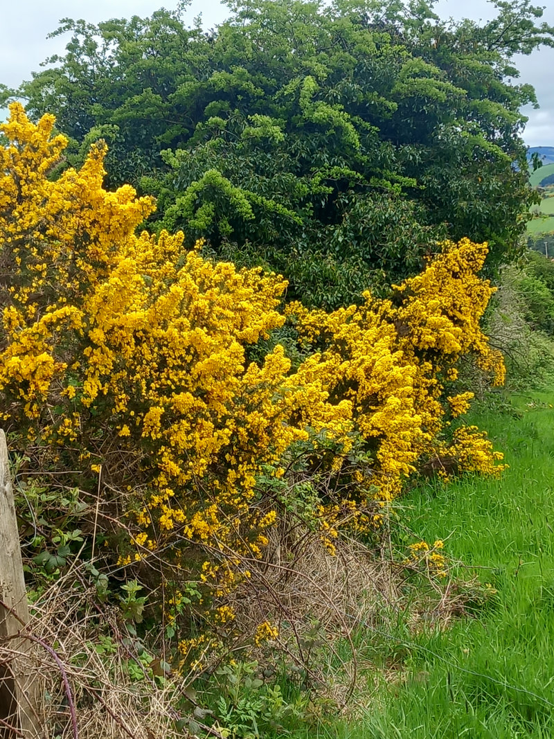
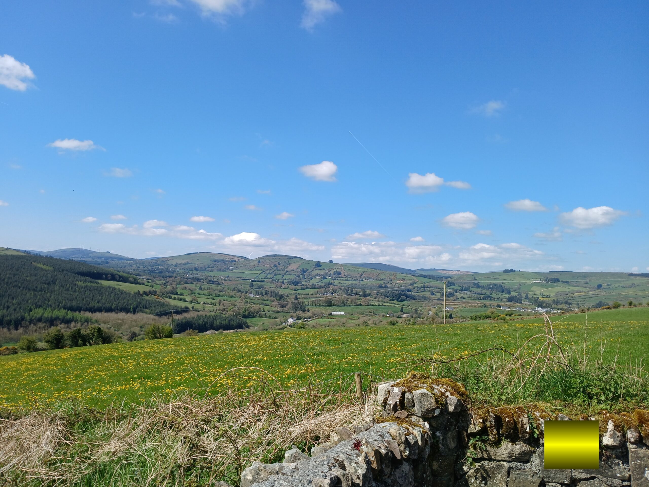
As you wander up the road. A lot of beautiful GORSE can be seen in the nearby fields and on the roadside
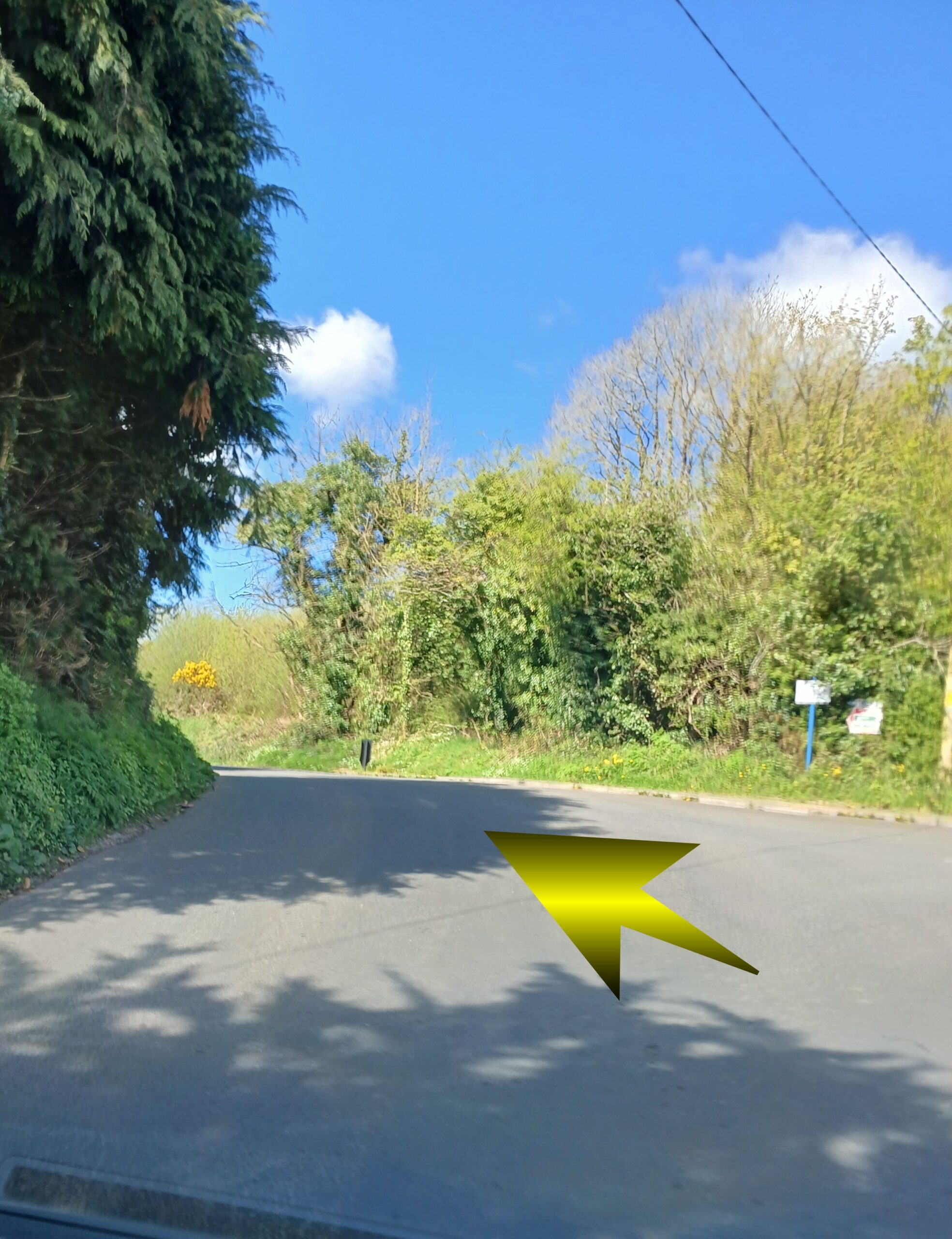
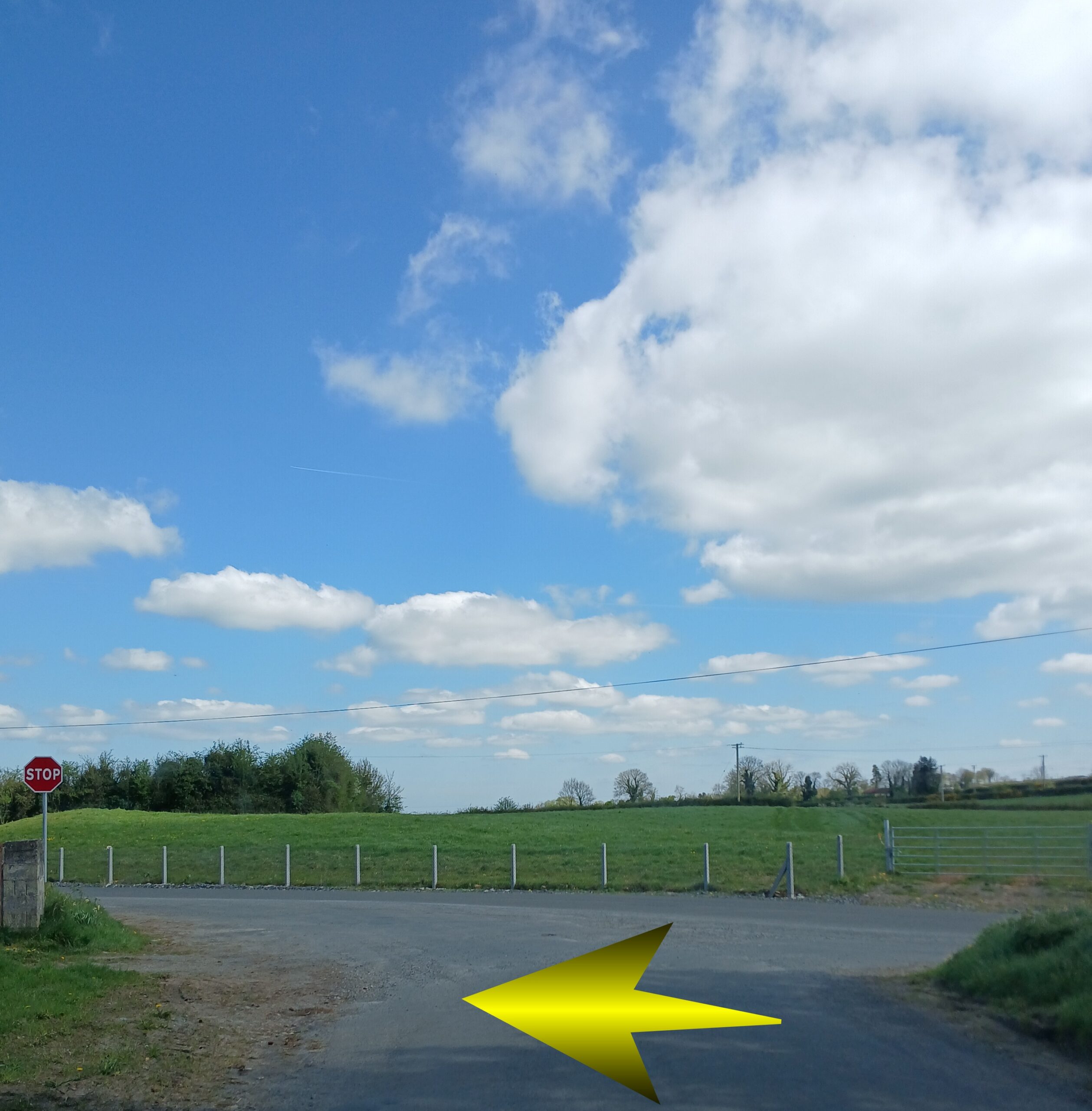
At the next junction head straight
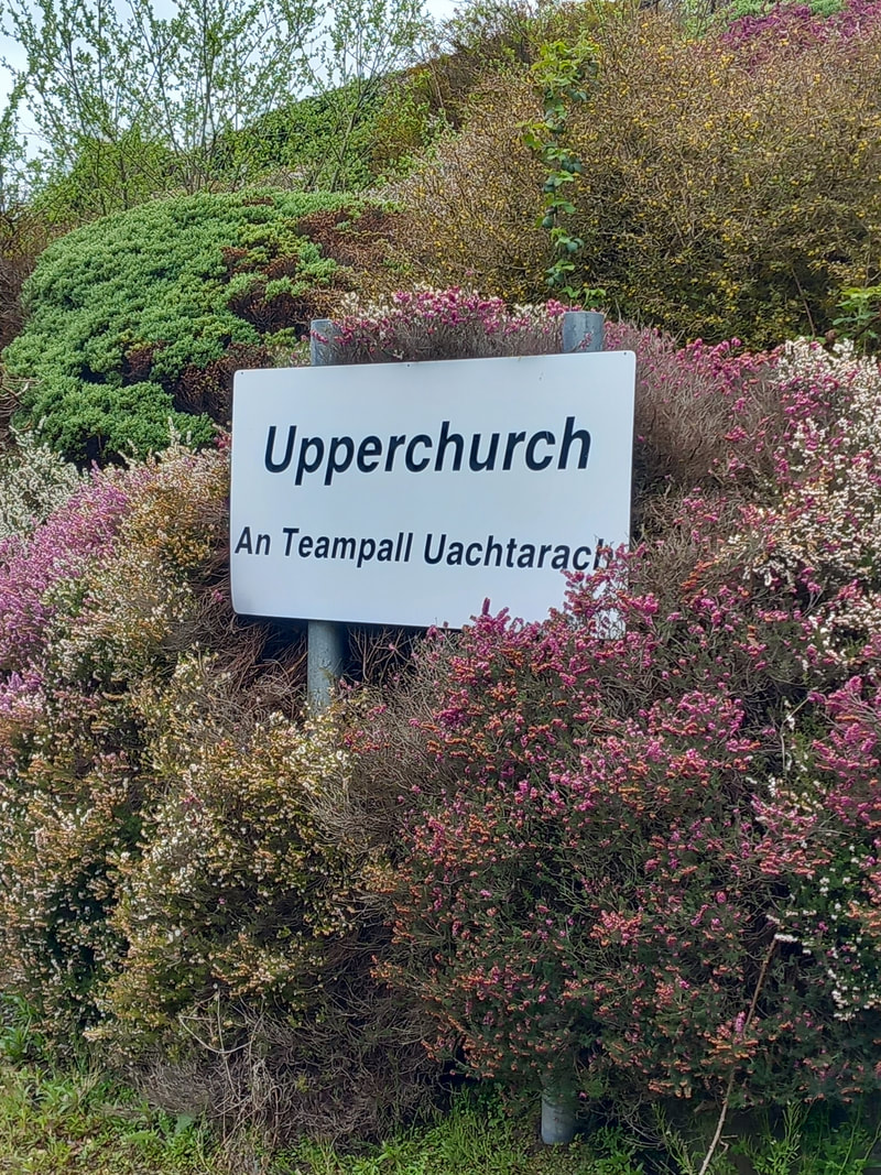
Just continue on this road until you get to Upperchurch village
Just continue on this road until you get to Upperchurch village
Look out for some local symbols indicating you are entering ‘Upperchurch Drombane Hurling’ Territory
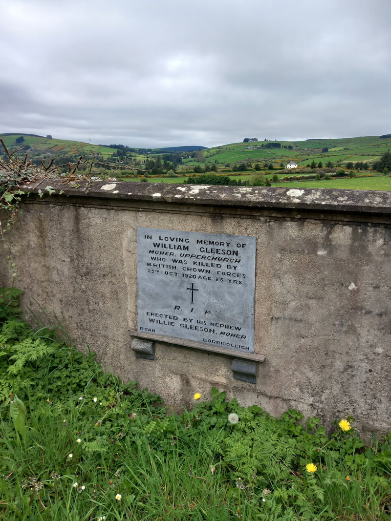
On the right on this road is a monument remembering William Gleeson
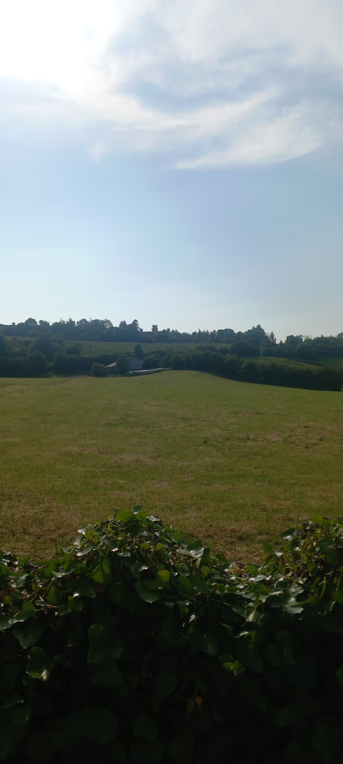
There should be nice views of the village of Upperchruch as you approach on your LEFT
At the next junction turn RIGHT, to go into the village of Upperchurch
You are now entering the village of Upperchurch
After you pass the UPPERCHURCH sign, the Old Upperchurch Graveyard is on the LEFT. It contains graves dating back to the famine
Kinanes Pub is situated on the LEFT
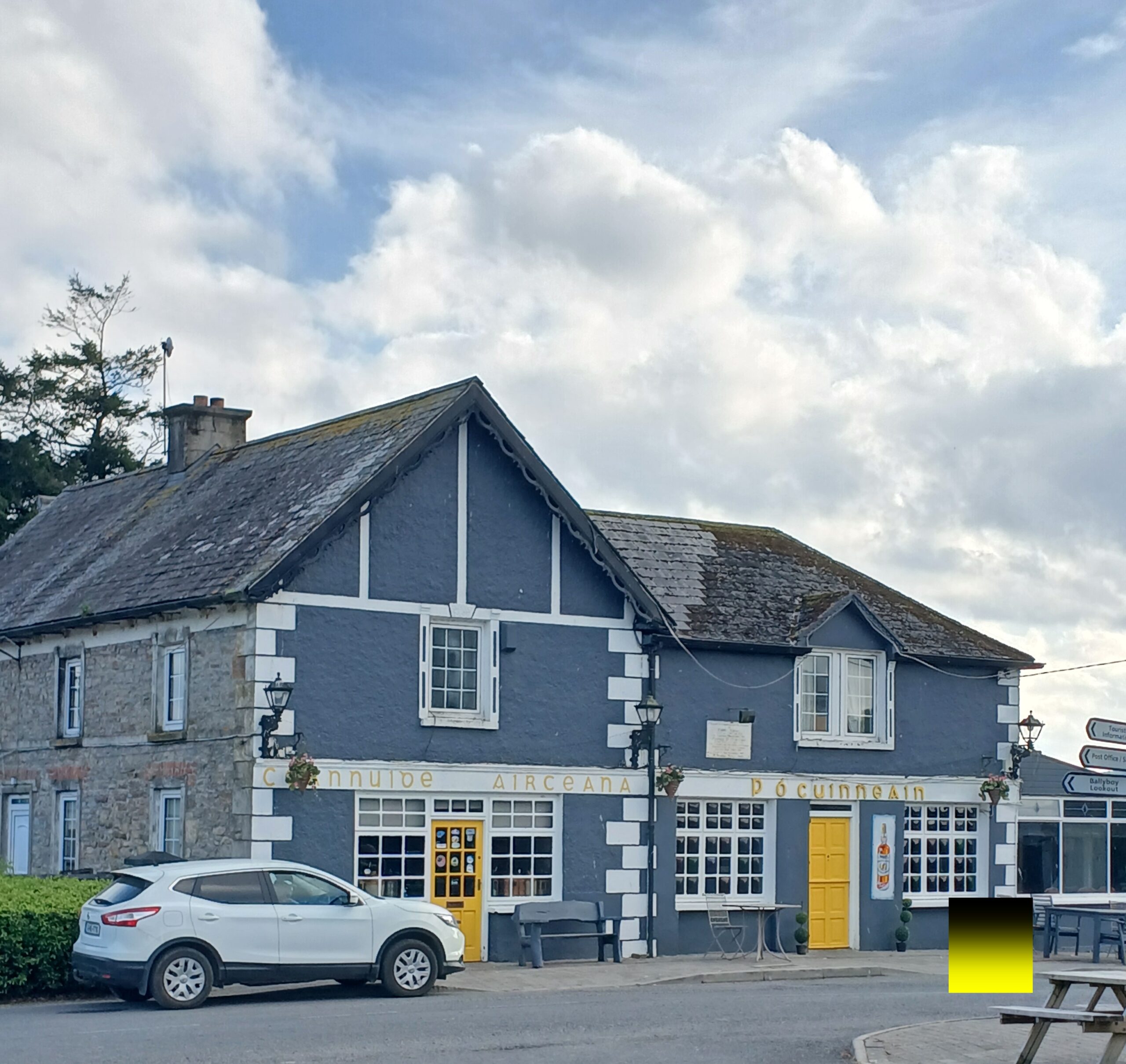
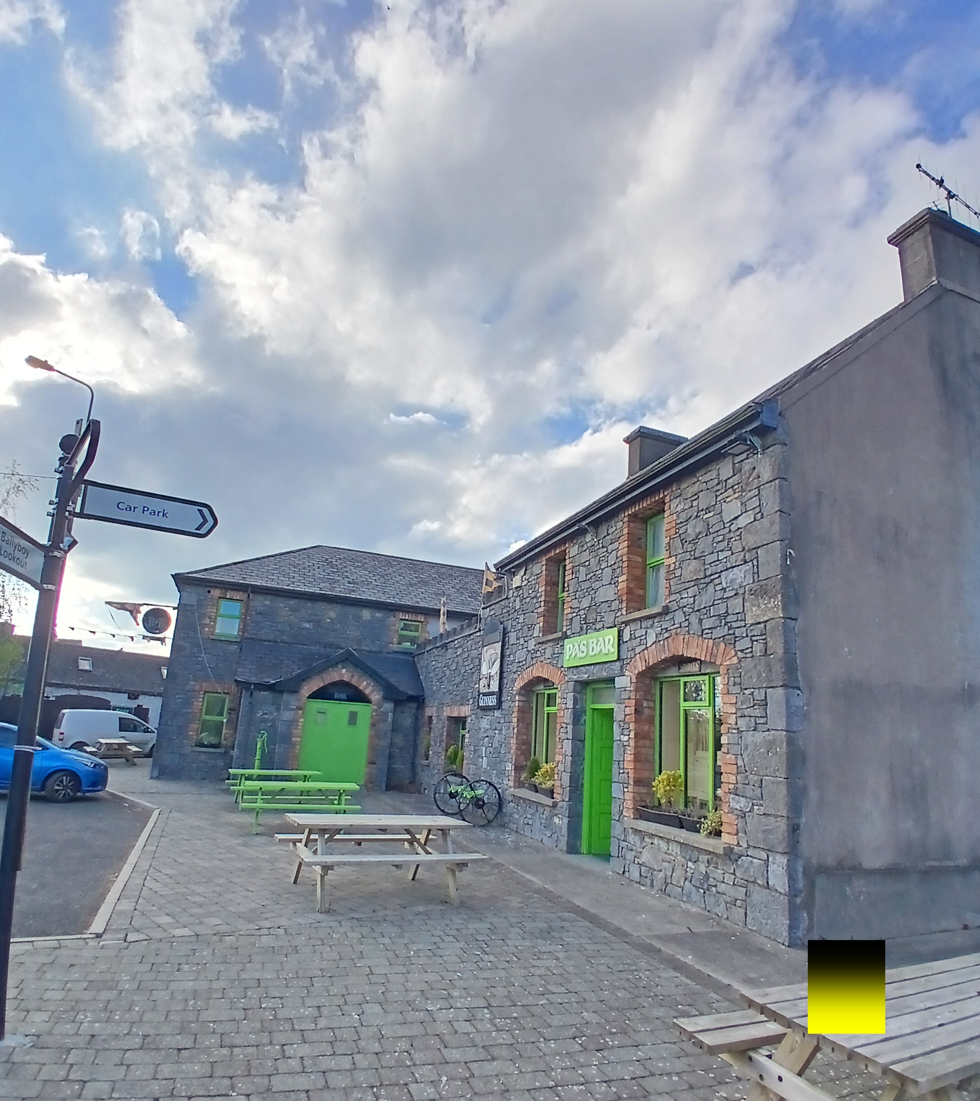
There is an information point in heart of village
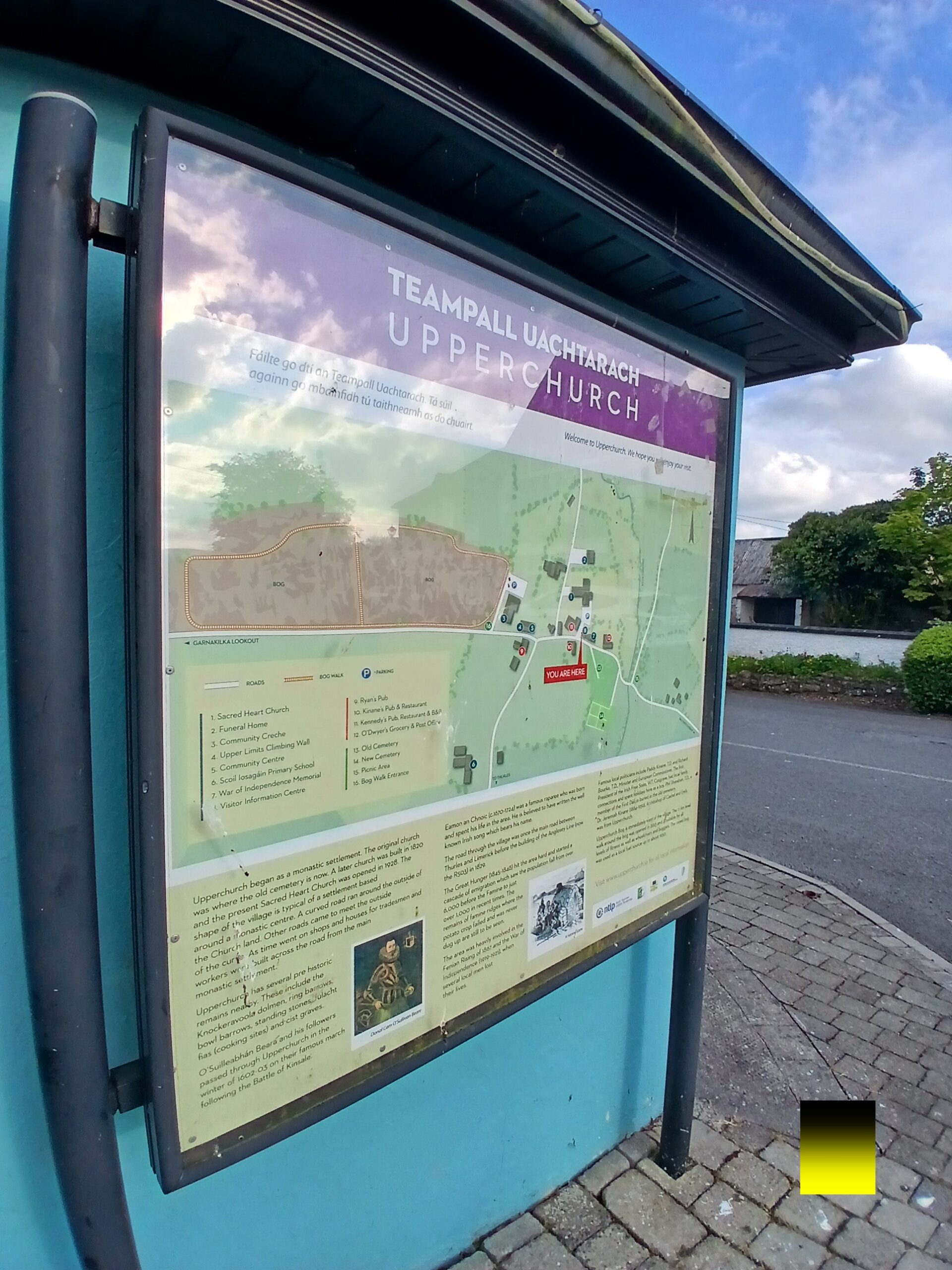
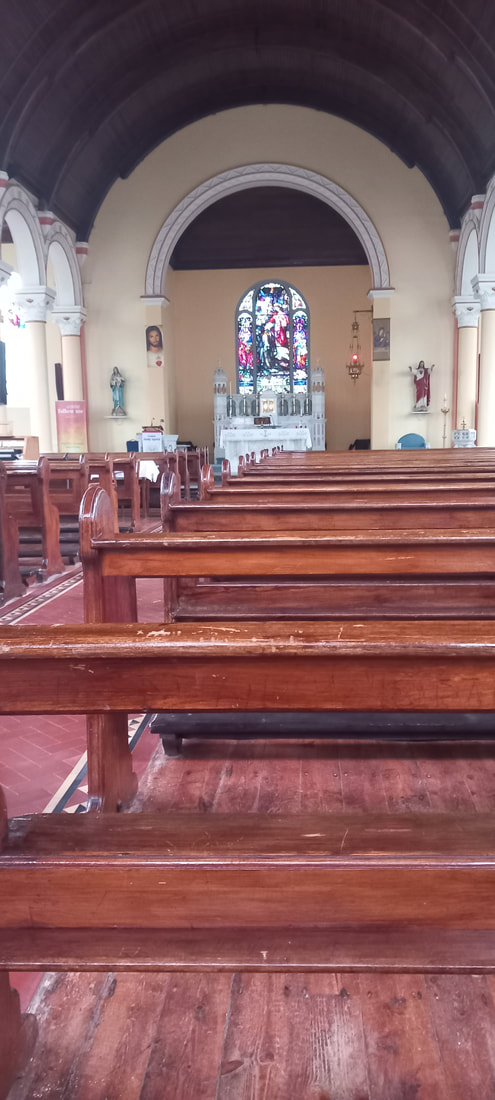
The church in Upperchurch was build in 1926-28
The journey back to Borrisoleigh will be a longer.
It initially starts with more uphill walk 🙁
But is mostly downhill after that
Head towards the local VIEW POINT from the village
Head back out the road you came in and then take a RIGHT on the road up straight towards the local “VIEWPOINT”
Pass by viewpoint your left hand side with great views on a sunny day
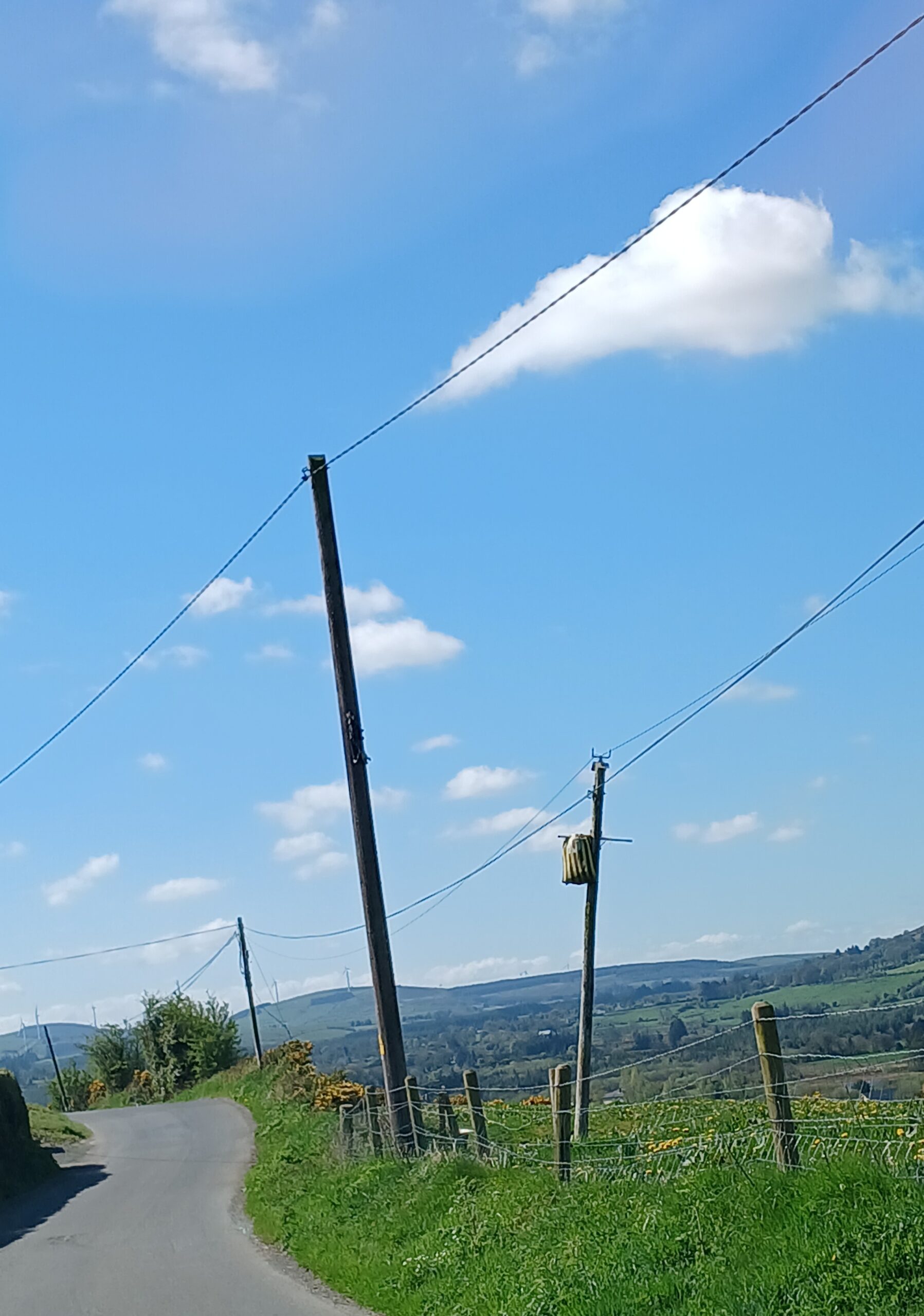
Follow the road up the hill
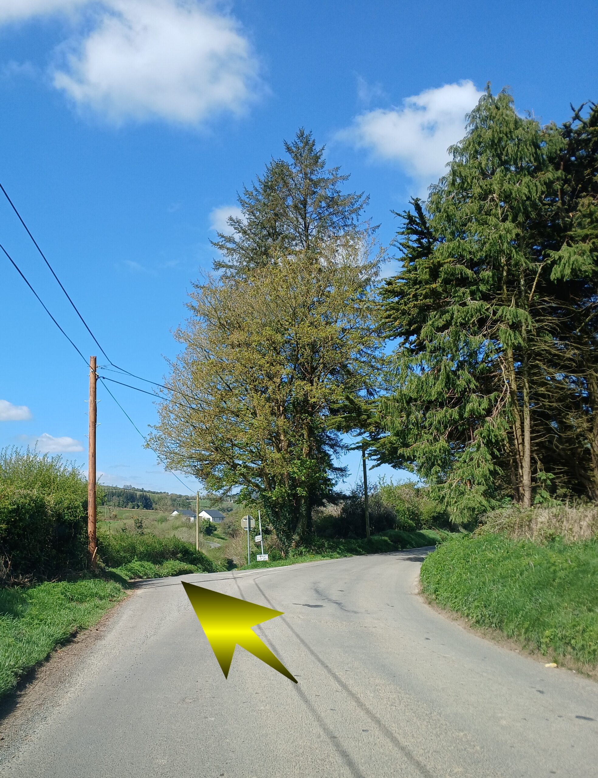
At the top of the hill, take the lane to the LEFT
At the top of the hill, take the lane to the LEFT
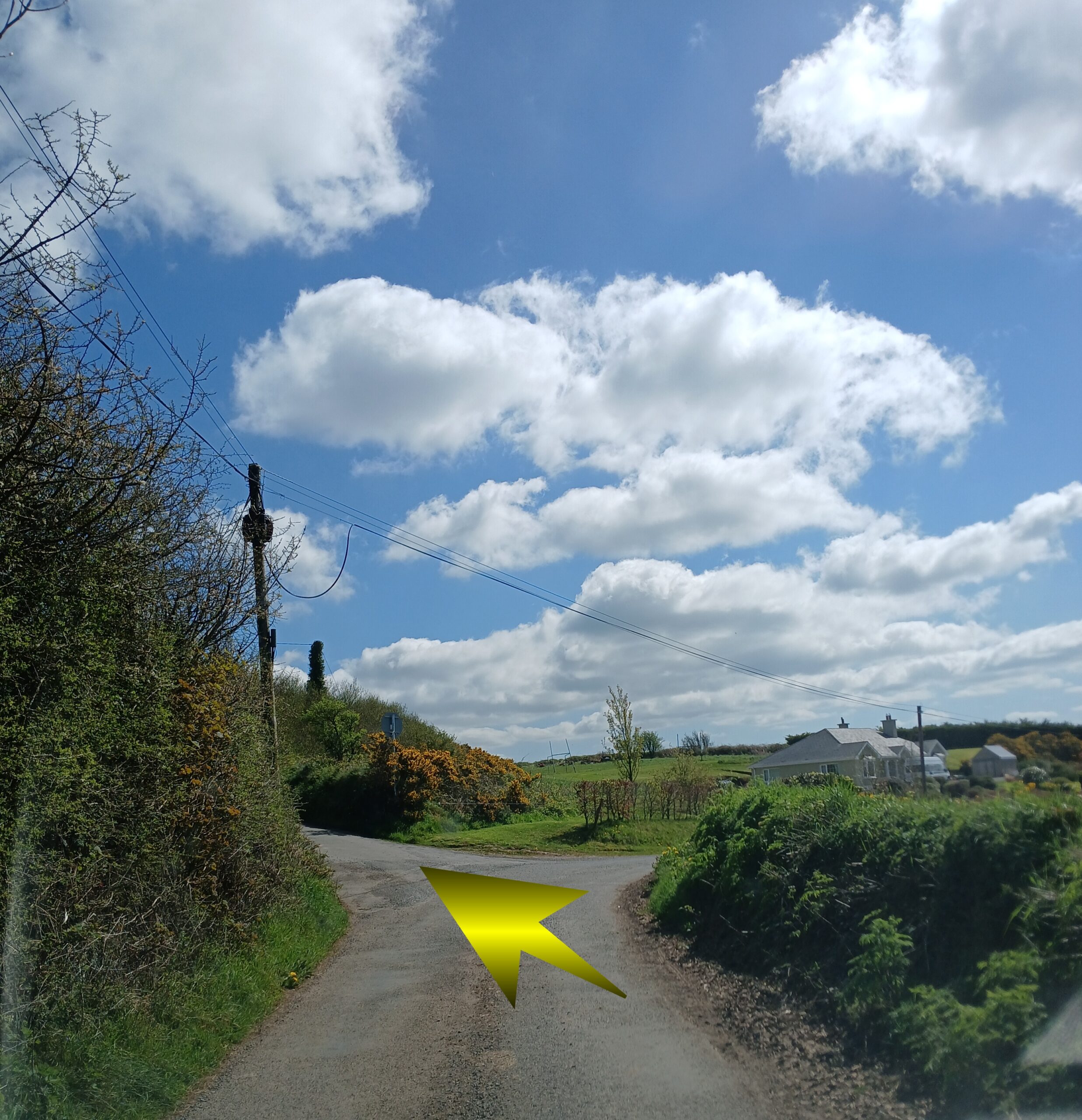
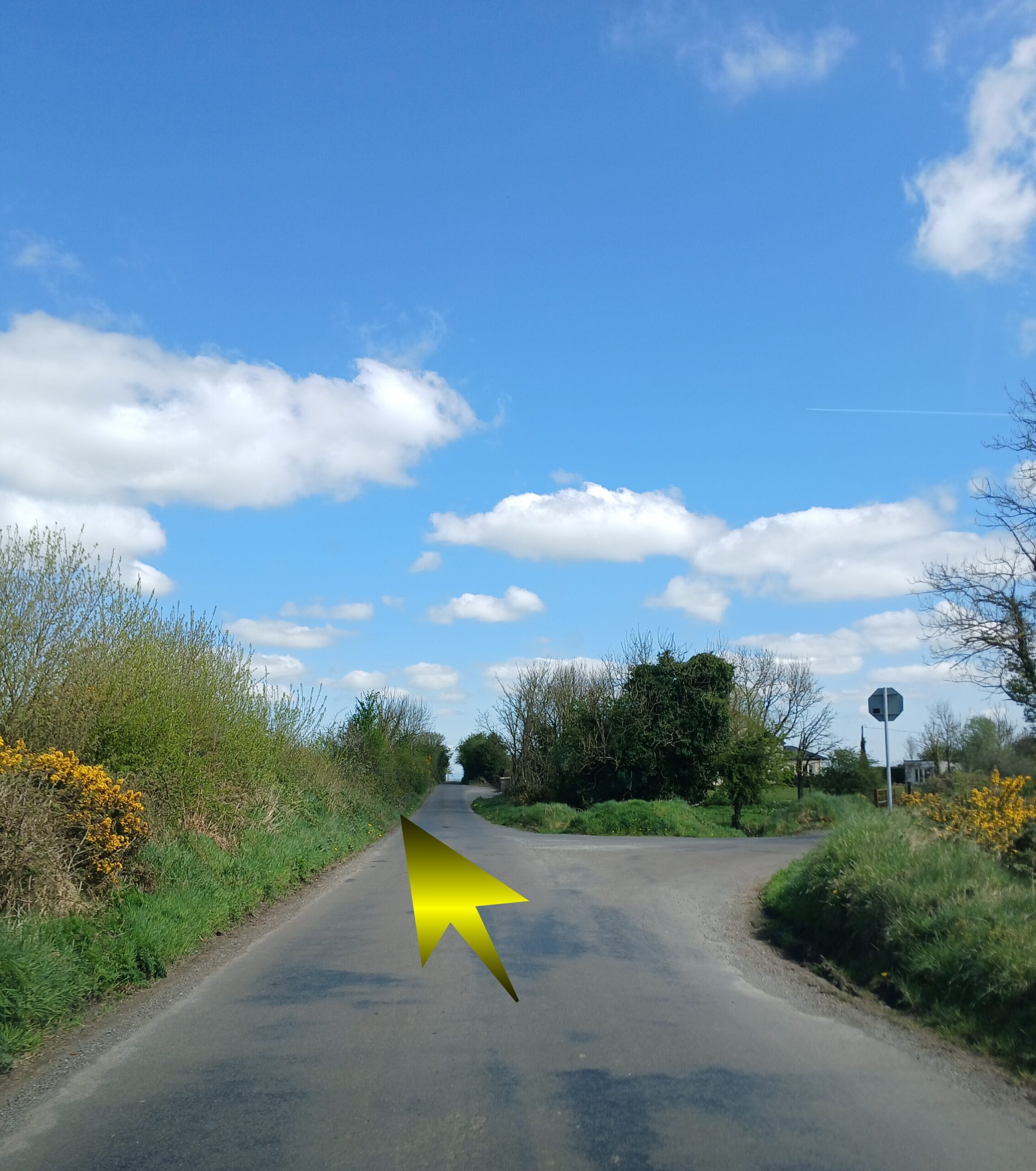
Continue along this road, until you meet a junction and veer RIGHT at that junction
Continue down this road , until you come to a junction with a ‘main road’ , take a LEFT
Head straight along this road
On your right in the distance , if you look carefully you will see a CASTLE. This is GORTKELLY CASTLE
On your right in the distance , if you look carefully you will see a CASTLE. This is GORTKELLY CASTLE
At the next junction on this road, keep to the LEFT
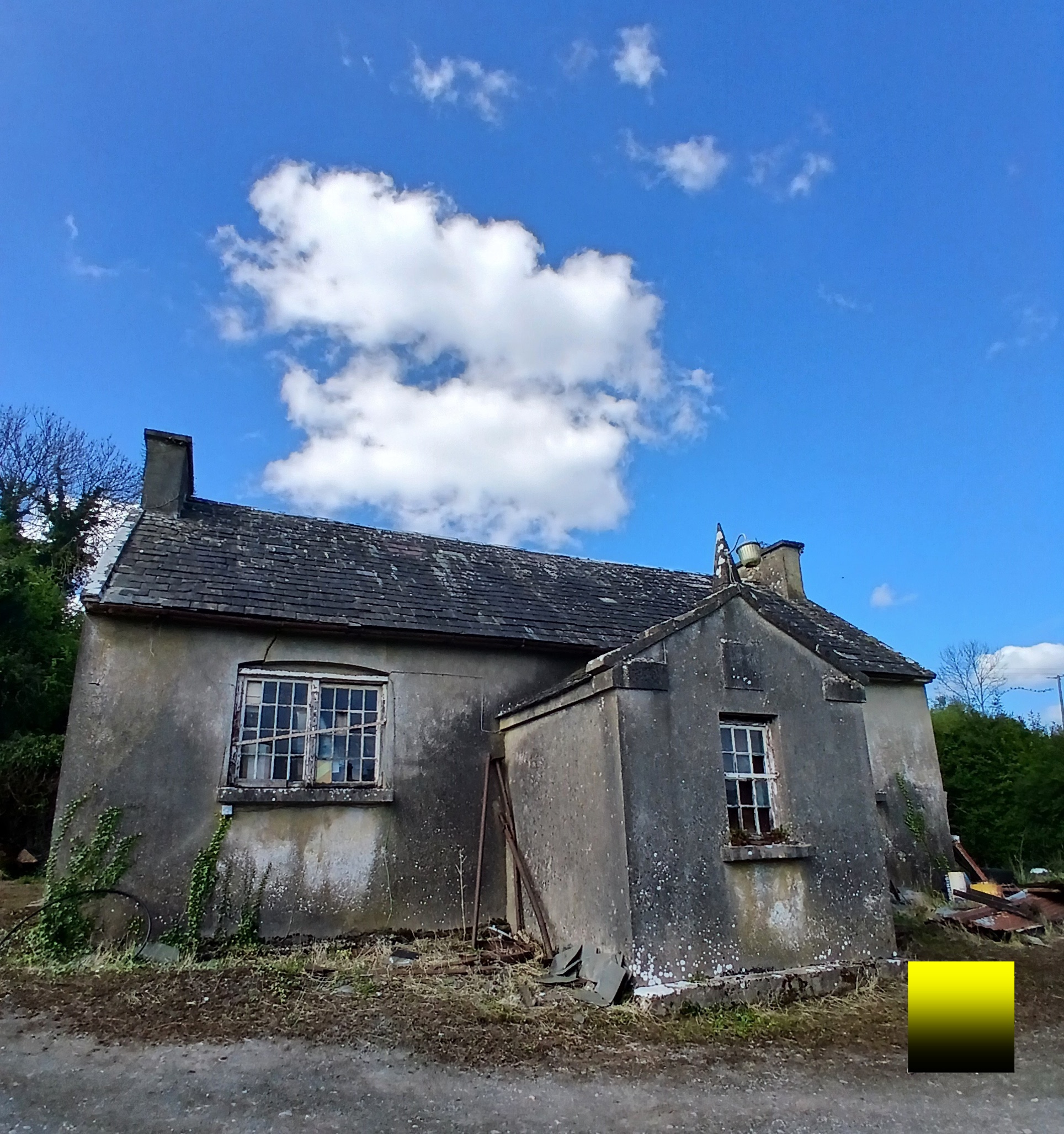
Further down this road you will pass the OLD Coolderry National School on the LEFT
The bridge before the next junction is over the river Clodagh
At the next Junction veer LEFT
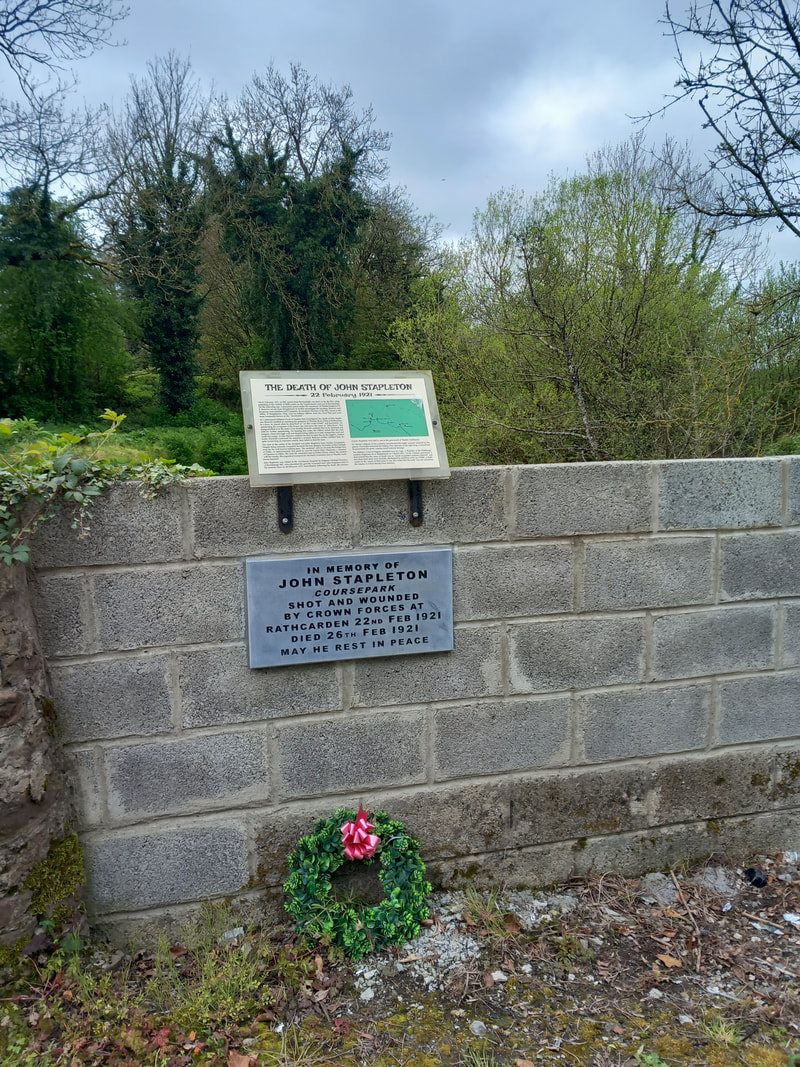
At this junction, just before the GREEN building is a plaque commemorating John Stapleton
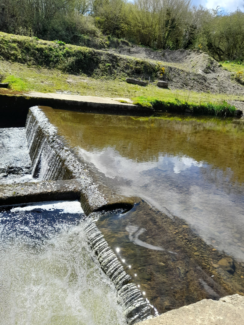
After the green building is a small entrance to the field.. and the Far left hand side of the field is the entrance to the SANDTRAP
Its worth the small detour to visit the local “FRESH WATER” Swimming area 🙂
Its worth the small detour to visit the local “FRESH WATER” Swimming area 🙂
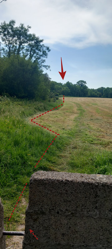
You need to retrace your steps to go back to the road , to rejoin the loop walk
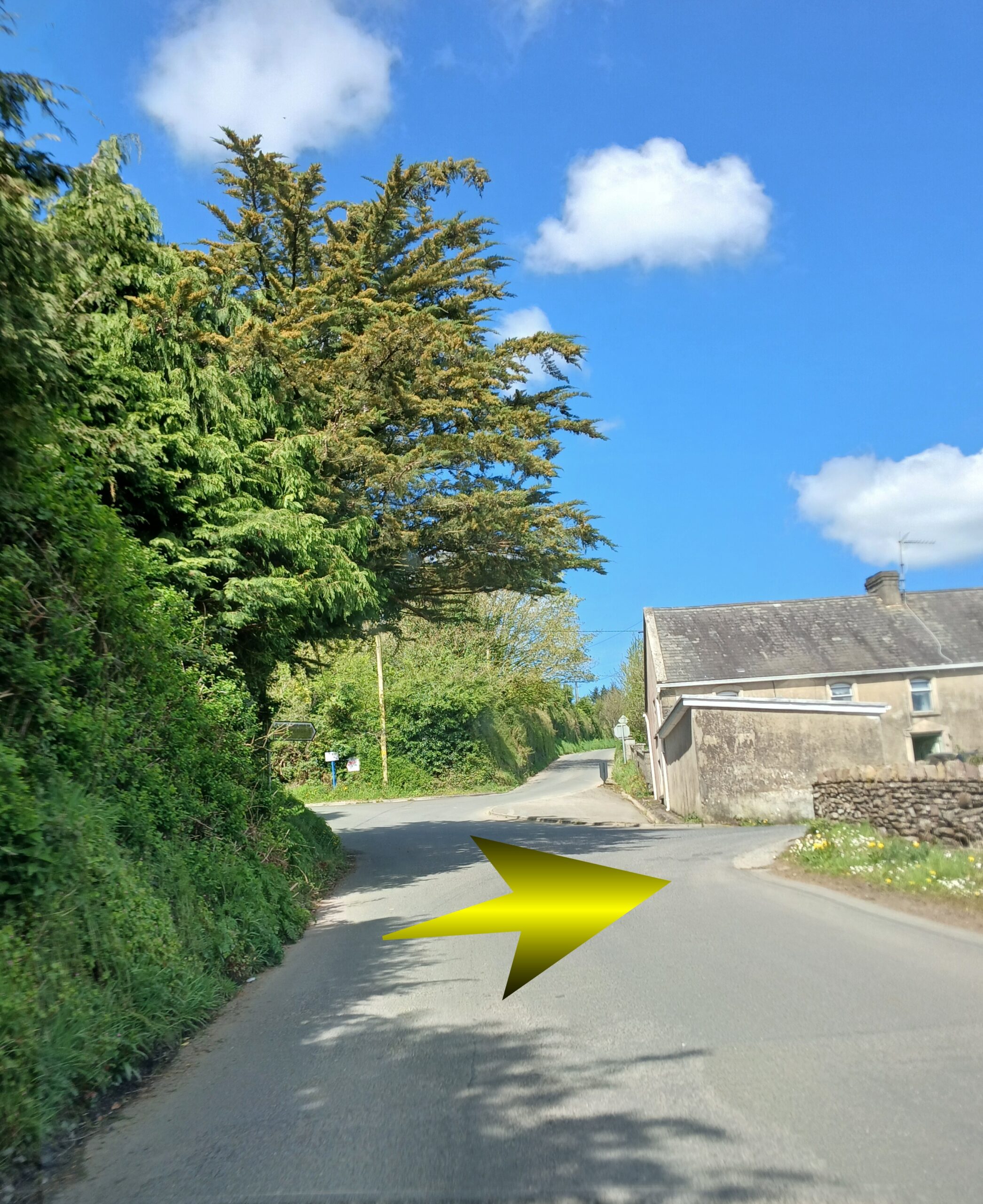
Continue on past the SANDTRAP and up to the next junction .. which is the CROSS of PALLAS
Turn RIGHT here and head back in towards Borrisoleigh
Turn RIGHT here and head back in towards Borrisoleigh
CONGRATULATIONS YOU HAVE COMPLETED the BORRISOLEIGH to UPPERCHURCH LOOP – 19.5km in total !!